Webinar Series – Enhance Mine Rehabilitation with DMRV
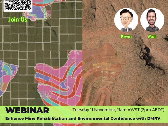
Enhance Mine Rehabilitation and Environmental Confidence with DMRV Webinar Series – Part 2 Mining is complex enough. Your data shouldn’t…
Enhance Mine Rehabilitation and Environmental Confidence with DMRV Webinar Series – Part 2 Mining is complex enough. Your data shouldn’t…
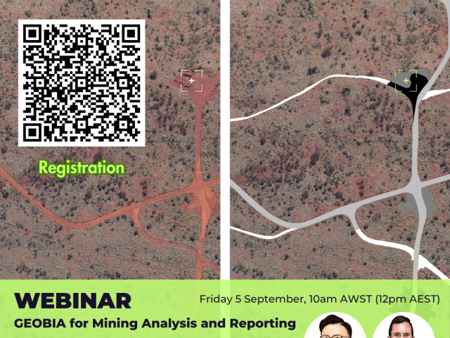
GEOBIA for Mining Analysis Webinar Series – Part 1 Mining is complex enough. Your data shouldn’t be. Our purpose is…
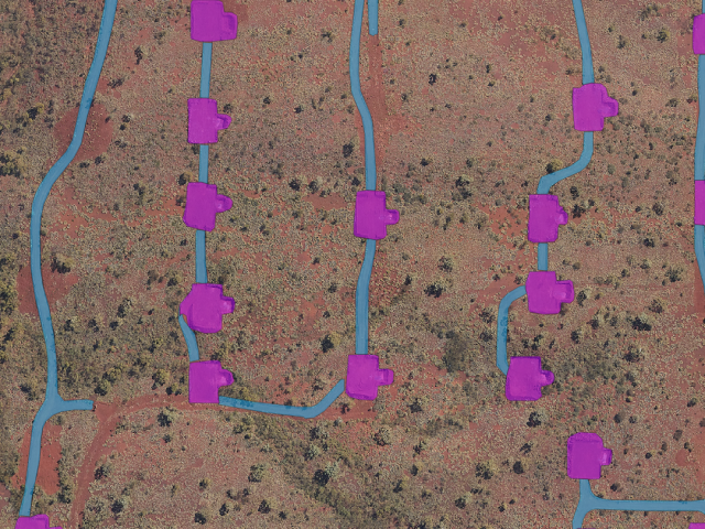
It’s The Outbox That Counts – Delivering Land Disturbance Reporting To Regulators Outline’s ADM, AI-assisted technology including object detection, segmentation…
Spatial Insights By Outline Global For The Global Resources Innovation Expo – GRX25 The best way to predict the future…

As the mining industry continues to evolve, its commitment to safety and operational excellence has demanded constant innovation while keeping…

About the Malleefowl Governments place stringent conservation requirements on industries that traditionally disrupt the habitat of protected species. One of…

As the mining industry continues to evolve, its commitment to environmental stewardship and sustainable practices has never been more crucial….

We have recently added Erosion Modelling to our EQBE™ to provide ready-to-use insights for your environmental monitoring. Here’s a short…

While over 200 operating mines in Queensland grapple with Progressive Rehabilitation and Closure Planning (PRCP) monitoring requirements, aerial intelligence is…

In the Nothern Territory, we utilised our LiDAR technology to get precise data and dimensions on the tallest residential property…

The great looks of this ‘image’ captured by our Gtech™ Lx240 LiDAR system belies the ‘Insights’ available from such high…